Steve Schmitt and I signed on for Doug Couch's attempt on Stuart West Ridge. I looked at the map, and decided that Ingalls peaks was so close to camp that we might as well leave town a couple hours early and go for this plan:
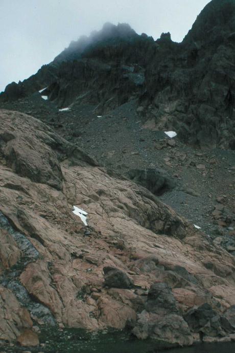
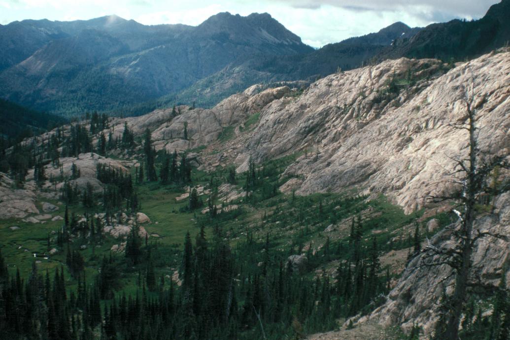
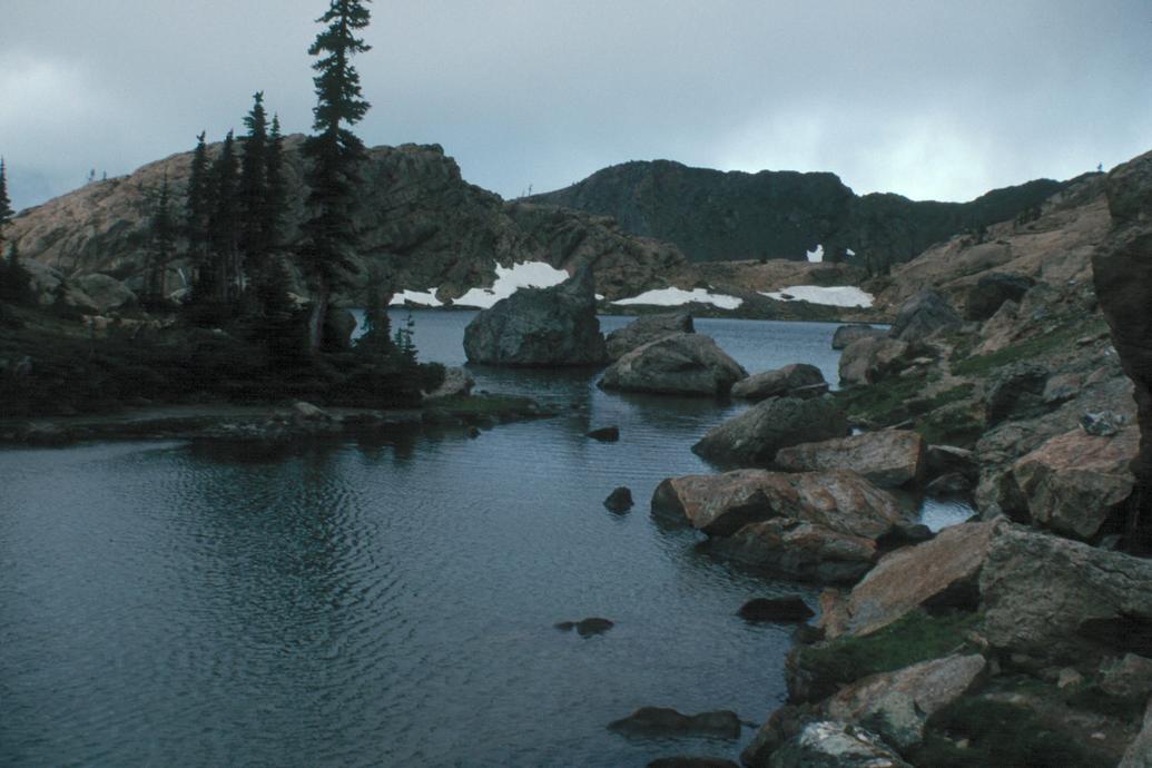
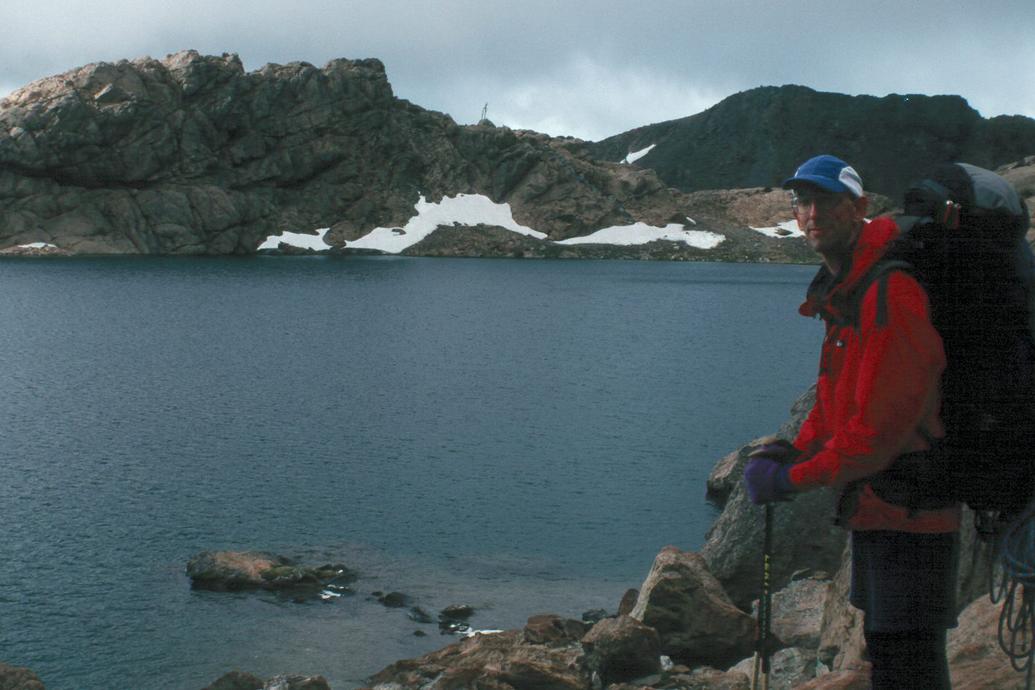
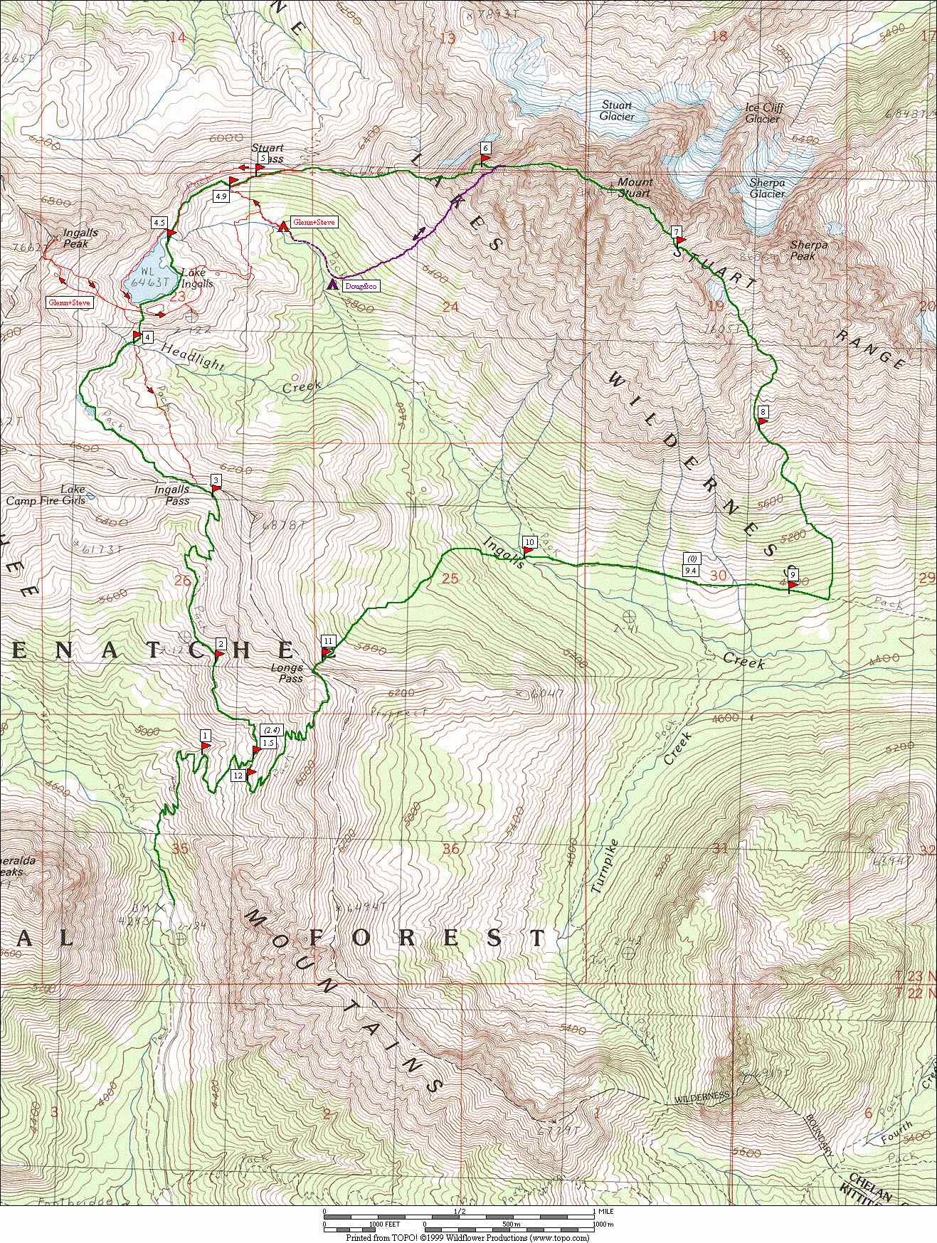
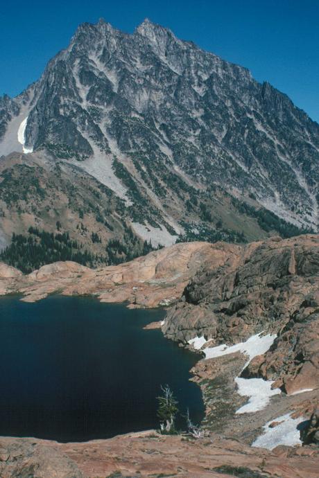
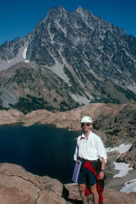
Steve and I are going to try to slip (sic.!) in Ingalls peak on Friday by going up to Stuart a couple hours early. I'm figuring on 4 hours round-trip for the two of us from the lake. Get to the trailhead at noon, dash in and knock off Ingalls peak, getting into camp by 7 pm. We are both carrying bivvy gear as our only sleeping gear, so will not need to leave anything in camp, leaving the option of saving about 4.5 miles of hiking and going directly out over Long's pass. Given the forecast (59-89 Friday in Wenatchee) this seems to us better than carrying two sets of sleeping gear. I'm expecting to find camp near where Ingalls creek approaches the Ingalls creek trail, 1/2 mile below the Ingalls lake outflow, at Timberline - or somewhere within whistle distance of there! Of course, we will probably be able to yell at you from the top of Ingalls peak... We will hide some gear where we leave the trail for Ingalls peak, with a note on the trail. As a backup, Doug please mark where you leave the lake trail to make camp. (Can you tell I'm neurotic about having a split party?) ... but not neurotic enough. What actually transpired: We were a bit slow getting out of town, then my old Subaru which I'd recently un-mothballed developed carburation problems going over the pass, dropping our speed to 40 mph or less. So we actually got to the trailhead about the same time as the rest of the crew, and started hiking only a minute ahead of the others. So we hiked faster! With only minor confusion where the trail ended before Ingalls Lake, we found a place SW of the lake to drop our packs, and dashed up Ingalls. I made one routefinding error - didn't like the loose gully, so veered left - and ended up pulling out the rope a bit early to rap back into the gully! The climb itself went great, but by the summit the sun was setting, a chilly breeze was up, and us in just our shorts, so I sent Steve up the last 40 feet to tag the summit, then we perfected speed rappelling on the way down. Darkness was falling by the time we arrived back at our packs. Now, which way to get around the lake? We found a path on the east side, but it faded out as light faded out, leaving us on the NE side of the lake wondering whether to contour around to the NW or head north down the slabs directly into the valley where we expected to find the others camped. We yelled and blew whistles ahd flashed our headlamps around - no response. I chose to head down the slabs. A mistake. It got steeper, and then we dropped onto steep slippery heather. I earned a bump and scrape for my mistake. We eventually made it down to the creek, found the creekside trail and a good campsite, but no sigh of the others. At that point (about 10 PM) we were too tired to go hunting, and made dinner and crashed. At least the evening was warm enough that we were comfortable in our minimal bivvy gear. We figured that wherever they were, we would meet up the next morning at the base of the route on the ridge. Never happened. We climbed up the trail, waited for an hour in the slight mist and fog, got no word from the party that passed by, figured that they had bailed, and packed out and drove home. On the way, we learned that the right way to go around the lake is on the west side, and there is a decent climber's path that follows the ridge all the way. As for Doug and the rest, turns out they had gone about a mile further down the valley to camp, never heard us, and instead of going back up to the ridge and the official climb start, headed straight up a gully and rejoined the route at the last bivvy sites on the ridge, Then they got stuck in a gully with no easy exit, and bailed, walking out only an hour or so behind us. So, I guess my mistakes didn't really end up costing us that much - unless you think that two more heads would have prevailed over the route... If this is confusing, you have the picture. The map will help confuse you more: